Detailed Description
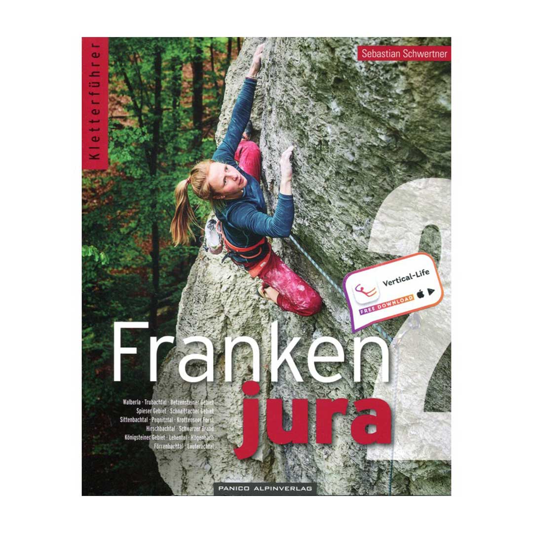
As usual, Sebastian Schwertner brings light into the Franconian undergrowth in the 13th edition with detailed topos, exact access descriptions and area maps. Compared to the previous edition, the Frankenjura climbing guide Volume 2 has been expanded by a further eight pages to a total of 584 pages. Together with Volume 1, well over 1,100 pages of precise information on the 12,600 routes for the Northern Franconian Jura. Volume 2 describes 6,500 routes. The comments on almost every route not only help on site, but are also fun in the restaurant in the evening. The new tours are as of June 2021.
In addition to some corrections, QR codes of the starting points have been included in addition to the GPS coordinates of the rocks and all associated parking spaces or starting points. After all, you want to play climbing and not looking for rocks.
The guide includes a download code for a free application for iOS and Android.
You get all Franken-Topos as an app for your smartphone free of charge for a period of three years.
- Title: Frankenjura climbing guide - Volume 2
- Author: Sebastian Schwertner
- Publisher: Panico Alpinverlag (12th edition 2020)
- Pages: 576
Note: These books are only available in German. These books aren't available in English.
Areas in the guidebook: Walberla, Trubachtal, Betzensteiner Gebiet, Spieser Gebiet, Schnaittacher Gebiet, Sittenbachtal, Pegnitztal, Krottenseer Forst, Hirschbachtal, Schwarzer Brand, Königsteiner Gebiet, Lehental, Högenbachtal, Förrenbachtal, Lauterachtal


