Detailed Description
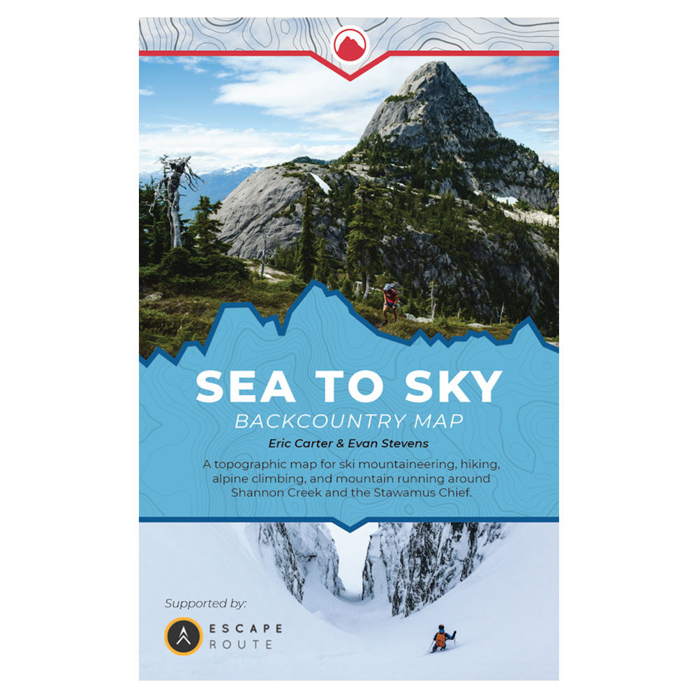
The Sea to Sky Backcountry Map is the most accurate and up-to-date backcountry adventure map available for the Sea to Sky Gondola and Squamish Chief.
Eric and Evan have spent combined decades exploring the peaks and pow above Howe Sound and now you can benefit from their experiences.
- Primary goal of map design is clarifying safe access routes for ski touring/winter use.
- Additional resources available on the website including downloadable digital tracks, additional topo photos and detailed descriptions.
Specifications
- High resolution 1:12,000 scale - larger scale than any other map in the corridor.
- Covers 24 sq km including Stawamus Chief, Mt Habrich, Sea to Sky Gondola, Sky Pilot and the Ledge Basin.
- 31” x 21” map printed on waterproof/tearproof paper.


